

A New Geological Map
About the event
Professor Mike Searle
Dept. Earth Sciences, University of Oxford, South Parks Rd. and Oxford University Natural History Museum, Parks, Rd. Oxford
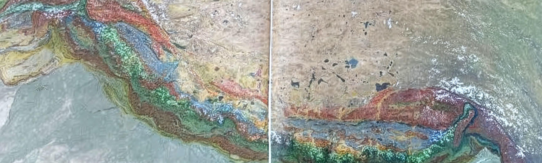
A new geological map (scale: 1:1.5 M) of the Greater Himalayan Ranges has been compiled and will be published in two sheets. The Western Sheet includes the Pamir, Hindu Kush, Karakoram, Kohistan, Ladakh ranges, including SW Tibet, with the Nanga Parbat syntaxis, and the Pakistan and Indian Himalaya. It extends from the Afghanistan-Pakistan border in the west to the India-Nepal border in the east. The Eastern Sheet includes the Nepal, Sikkim, Bhutan, Arunachal Pradesh ranges, southeast Tibet, Namche Barwa syntaxis, the Shillong Plateau and northwest Myanmar (Burma) ranges. The map includes five cross-sections, and a detailed Key. Together with magmatic, metamorphic, thermobarometric, strain measurements, as well as geochronological and geophysical data, several key geological processes can be deduced from all these geological strands. These include the nature and timing of the India – Asia collision, crustal shortening and thickening processes across the Tethyan Himalaya, channel flow processes along the Greater Himalaya, Pliocene – Pleistocene high-temperature metamorphism and rapid exhumation – uplift rates in the Nanga Parbat syntaxis, and the distribution of earthquakes along the orogen.
Accessibility information
| Wheelchair accessible? | Yes |
| Hearing loops? | Yes |
| Seating? | Yes |
| Refreshments? | No |
| Flashing lights? | No |
| Loud noises? | No |
For more information, please visit our accessibility webpage.

